Detailed · Deep study
1GPS and satellite navigation
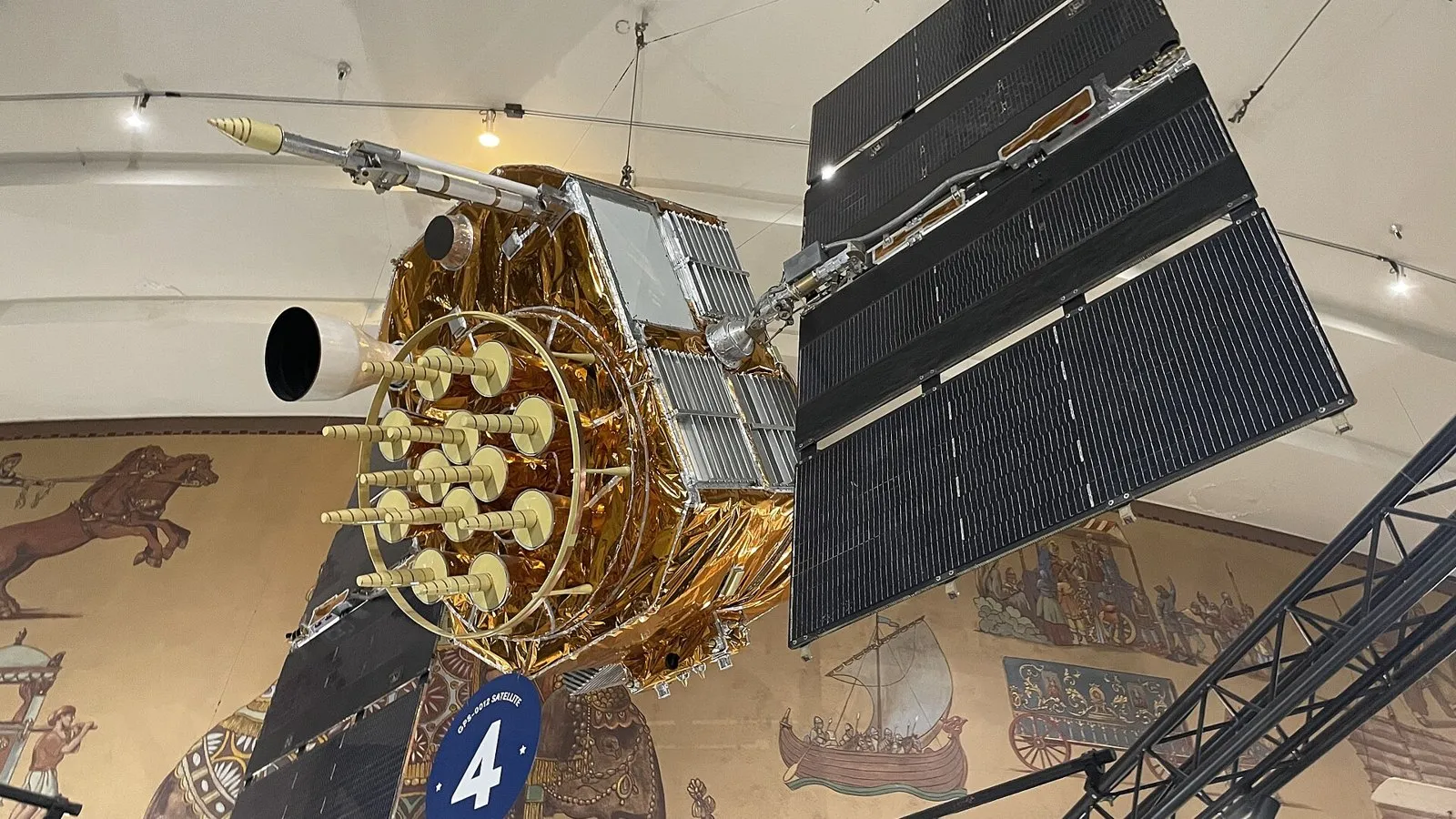
Each GPS satellite transmits signals giving its position and the exact time from an atomic clock. A receiver works out how long each signal took to arrive, so how far away each satellite is; using at least three (usually four) satellites, it calculates its position (latitude, longitude, altitude). Satellite navigation (sat nav) uses this position with stored maps to calculate a route and give spoken directions, with live traffic information.
| Advantages of sat nav | Disadvantages |
|---|---|
| no paper maps needed; directions given while driving | maps may be out of date (new roads, closures) |
| finds the fastest route; avoids traffic jams | signal may be lost in tunnels or between tall buildings |
| can find nearby services (fuel, hotels) | drivers may follow instructions blindly, e.g. down unsuitable roads |
| used for tracking vehicles and phones | privacy concerns from tracking |
2Geographic information systems (GIS)
A GIS stores data linked to locations and shows it as layers on a map, e.g. roads, rivers, buildings, population, crime rates or flood risk. It is used for planning new buildings and routes, emergency services, environmental studies and marketing. Advantages: combines many kinds of data so patterns can be seen; layers can be turned on and off. Disadvantages: expensive; data must be accurate and up to date; needs skilled users.
3Media communication systems
| System | Characteristics | Advantages | Disadvantages |
|---|---|---|---|
| satellite television | TV signals are sent up to a satellite and back down to a dish on each home | covers huge areas, including remote places; many channels | bad weather can interrupt the signal; slight delay; needs a dish |
| satellite phone | connects directly to satellites, not to ground masts | works almost anywhere on Earth – ships, deserts, disaster zones | expensive phones and calls; needs a clear view of the sky; delay on calls |
4Exam focus
Key words: GPS; satellite navigation; GIS; satellite television; satellite phone.
Quick self-check
Answer in your head first, then reveal.
Receives signals from satellites (1); signals contain the time sent/satellite position (1); calculates distance from the time delay (1); uses at least 3–4 satellites (1).
e.g. planning flood defences / showing population data / emergency services planning (1).
Signal can be lost in bad weather / dish needed / delay (1).